format B5, oprawa miękka
ISBN 978-83-66602-92-2
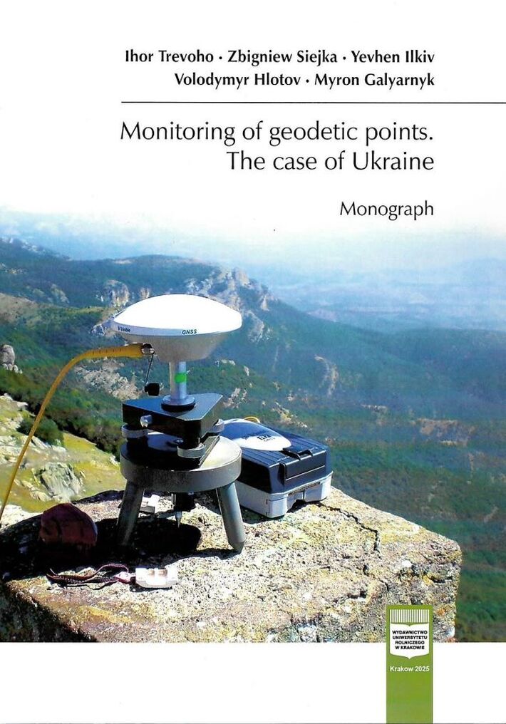
Despite the intensive development of geodesy, the significance of geodetic points as carriers of geodetic information has remained unchanged – in fact, they are more important than ever. Geodetic networks currently receive considerable attention from the local governments who must monitor the state of urban geodetic networks. Significant funds are allocated from local budgets for surveying, upgrading and supporting the functioning of urban geodetic networks. The cities of Kyiv, Zaporizhia, Mariupol, Voznesensk, and Novovolynsk, where new geodetic points have been laid in addition to surveys, are examples here. This situation is typical urban networks in all regions of Ukraine. The structure of the urban geodetic networks is formed by points of the State Geodetic Network (SGN) of 1, 2, 3, and 4 classes is up to 15% of the whole network, levelling points - up to 14%, and points of the urban geodetic network, namely points of polygonometry - 72%, for cities, while the others settlements the percentage may differ.
Throughout the history of geodesy, which mainly covers the 19th and 20th centuries, only two instructions for the process of surveying and updating geodetic points have been issued. Later, another normative document was published. It should be noted that the field inspections of the updated SGN points, levelling network and densification of networks, as well as setting up geodetic points, is performed at an insufficient technical level.The lack of effective instrumental control and justification of the accuracy of control of field work reduces the quality of the field topographic-geodetic production and can lead to negative consequences.
In the recent history of geodesy, there were have been periods when a lot of attention was paid to the problems of finding geodetic points on the ground, in case of loss or destruction of both the exterior design and the elements of topographic reference. It is worth mentioning the works of local scientists and specialists, among them P.M. Shevchuk, K.A. Losev, A.E. Rozhkov. In many scientific works, the problem of finding undiscovered geodetic points was solved by traditional topographic and geodetic methods, mainly with the help of planning information. With the development of geodesy, the interest in the search for geodetic points has decreased, even though many geodetic points that have remained intact, in addition to production needs, are also historical monuments.